-
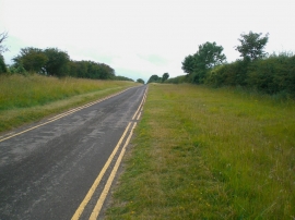
Unlikely Lincolnshire nature reserves (1): roadside verges, south of Ancaster
-
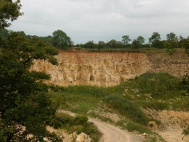
Limestone quarry, off High Dike, Ancaster
Unlikely Lincolnshire nature reserves (1): roadside verges, south of Ancaster
Limestone quarry, off High Dike, Ancaster
Location and coordinates are for the approximate centre of Willoughby Heath within this administrative area. Geographic features and populated places may cross administrative borders.