Moved Trig Point on the North Sutor
Uploader's Comments
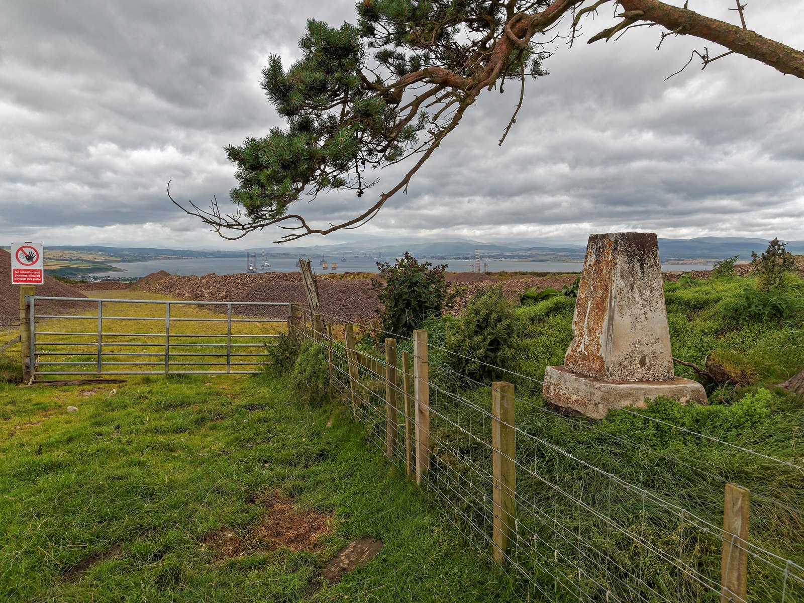
The trig point marked on the OS maps has been scooped up out of the ground by some sort of heavy machinery and dumped about 180 feet away. Its original position is now a large hole in the ground, where the quarry has been extended. The OS have been informed.
Uploaded to Geograph by valenta on 7 August 2016


