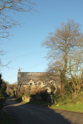
Lower Lank, Cornwall

« Gazetteer Entry
Upload Photo

Lower Lank, Cornwall

  • Parish/Community: St. Breward
  • Unitary Authority: Cornwall
  • Region: South West
  • Category: Populated Place
  • Type: Hamlet
  • Latitude/Longitude: 50°32'40"N 4°41'43"W
  • Eastings/Northings: 209121, 75114
  • OS Grid: SX091751
  • Mapcode Local: GBR N3.H5Q6
  • Mapcode Global: FRA 171M.JJR

Location and coordinates are for the approximate centre of Lower Lank within this administrative area. Geographic features and populated places may cross administrative borders.

BritishPlaceNames.uk is a Good Stuff website.