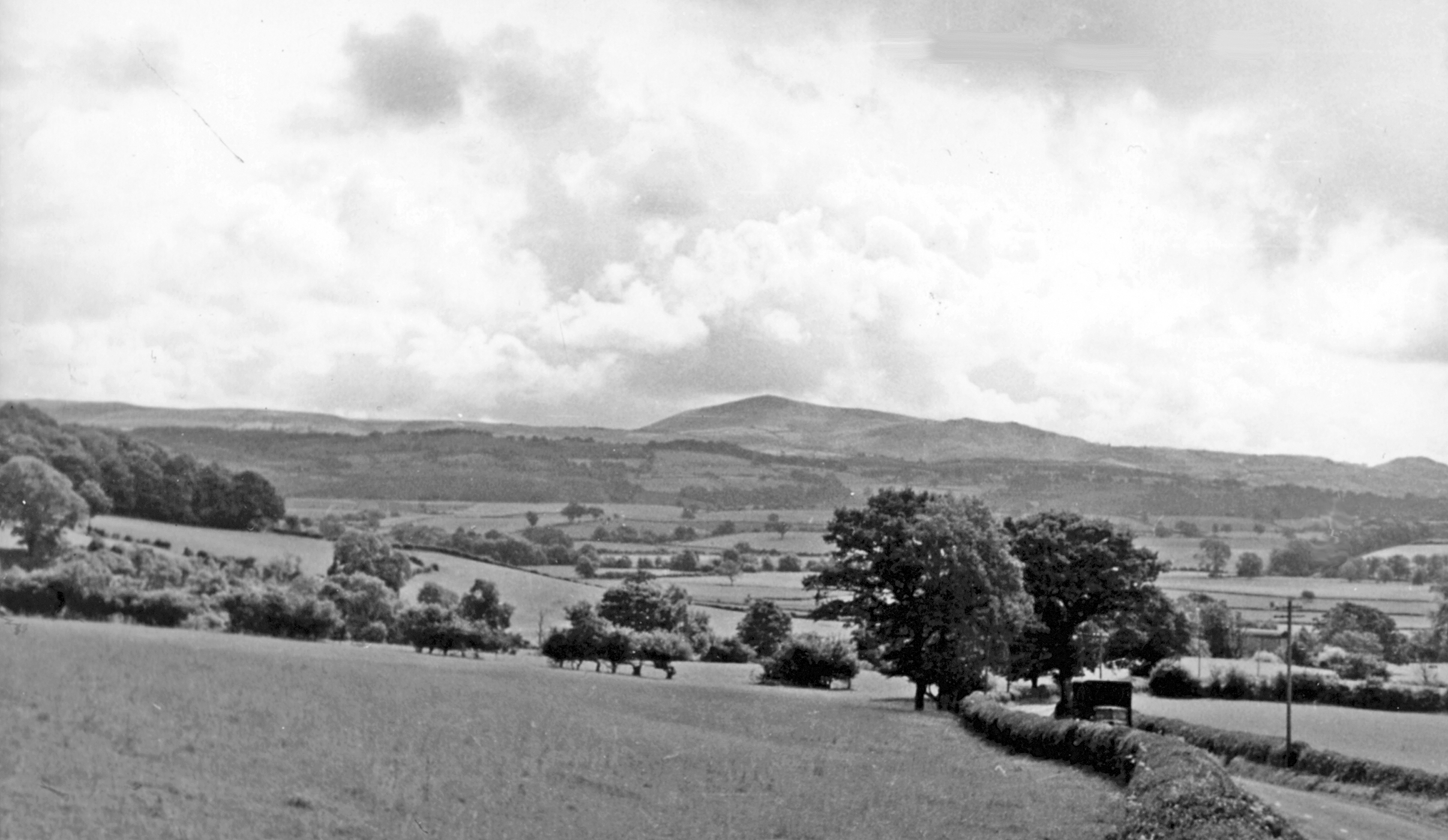
Corndon Hill from A490 between Forden and Chirbury, 1951
Uploader's Comments
A wonderful vista of the Welsh Borders country, looking SE approximately at the 'International' Border (Montgomeryshire - Shropshire) from beside the A490 (Welshpool - Church Stoke) road. After curving round to the west near Montgomery, the Border turns back east then north, passing along the ridge of wooded hills in the middle distance. However, the 8th-century defensive Offa's Dyke followed the River Severn on this section, while the present-day Offa's Dyke Path cuts across this bulge of Shropshire, crossing the A490 a little way behind the camera. In the distance Corndon Hill (1,684 ft.) dominates the skyline, flanked to the north (left) by Stapeley Hill and far left, the Stiperstones rising to 1,647 ft.
Uploaded to Geograph by Ben Brooksbank on 6 August 1951


