-
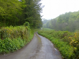
Unadopted road running beside High Wood Forest
-
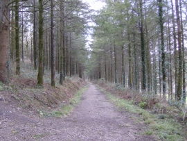
Track through High Wood Forest
Unadopted road running beside High Wood Forest
Track through High Wood Forest
Location and coordinates are for the approximate centre of Crossmans Hill Wood within this administrative area. Geographic features and populated places may cross administrative borders.