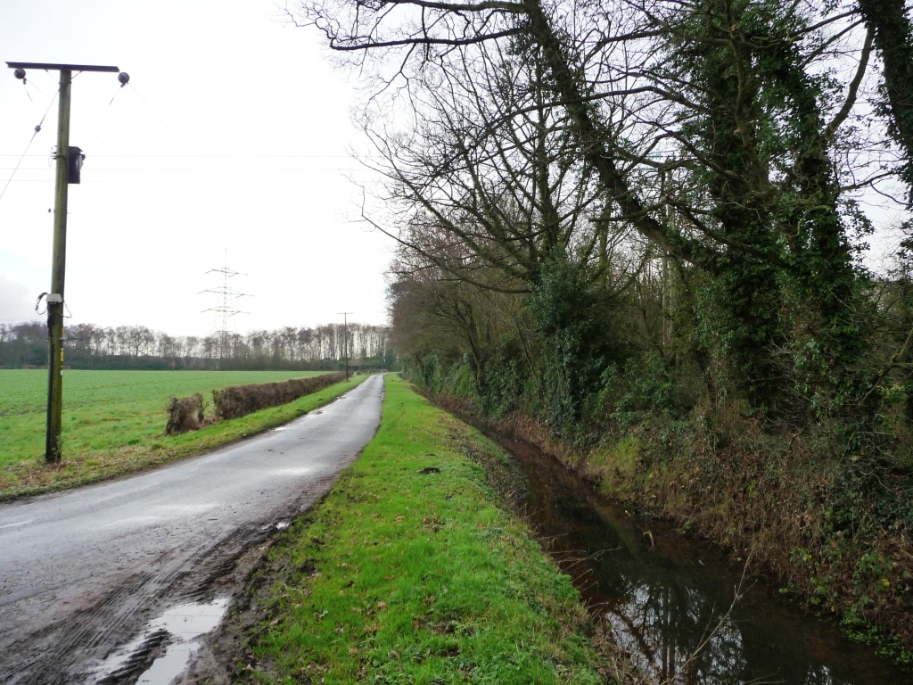
Full drain alongside Chester Court Road
Uploader's Comments
Looking south-east from the bend at Chestercourt Hall Farm. This is an area of flat drained former common, about 5 metres above sea level, between the tidal rivers Aire and Ouse.
Uploaded to Geograph by Christine Johnstone on 13 January 2016


