-
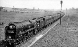
Down Atlantic Coast Express west of Tisbury
-

Down freight for Exeter near Tisbury
Down Atlantic Coast Express west of Tisbury
Down freight for Exeter near Tisbury
Location and coordinates are for the approximate centre of Cherryfield Wood within this administrative area. Geographic features and populated places may cross administrative borders.