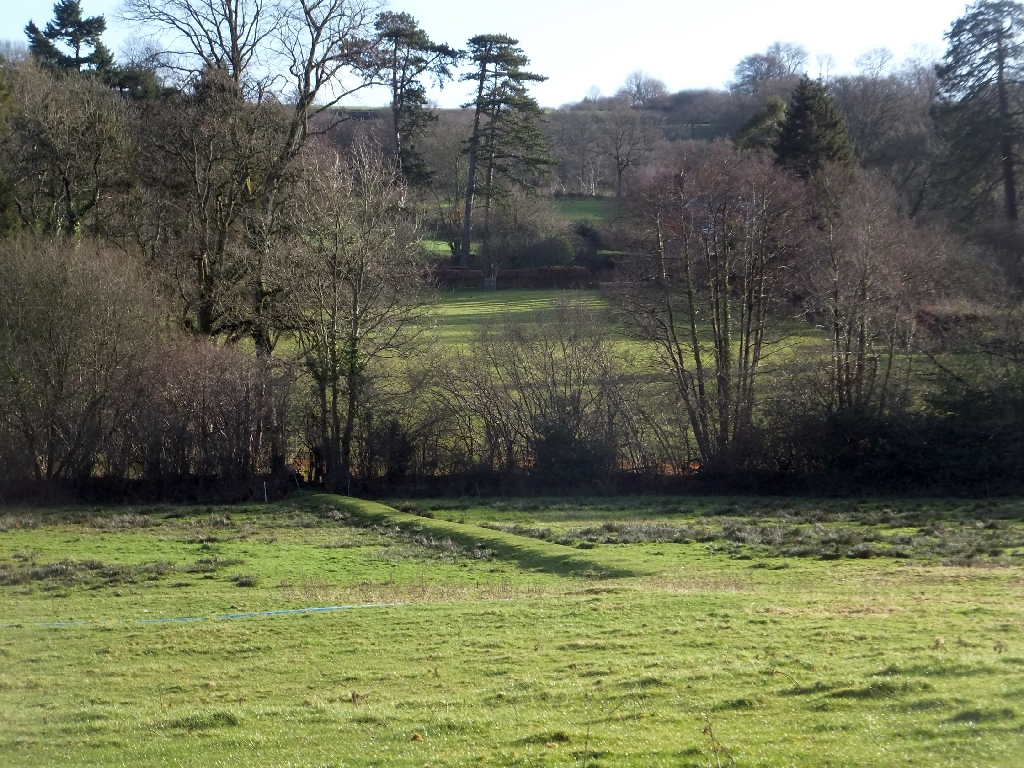
Earthworks between Dunkeswell Abbey and the Madford River
Uploader's Comments
The OS map shows some fishponds that belonged to the abbey, but those are on a tributary of the Madford. This raised bank may date from monastic times, or be more recent but its shape and the flat areas suggest a use such as fishponds.
Uploaded to Geograph by David Smith on 1 January 2013


