-
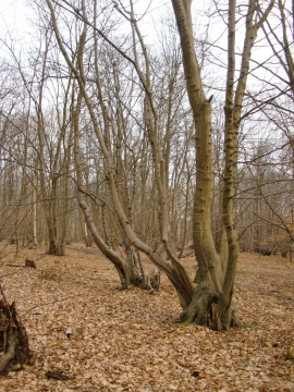
Coppiced hornbeams in February, Bencroft Wood
-

Beaumont Road, Wormley West End
Coppiced hornbeams in February, Bencroft Wood
Beaumont Road, Wormley West End
Location and coordinates are for the approximate centre of Wormley West End within this administrative area. Geographic features and populated places may cross administrative borders.