-
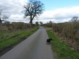
Along Woollaston Lane towards Church Eaton
-
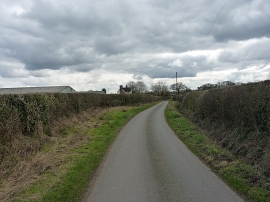
Woollaston Lane near Eaton Brook Farm
Along Woollaston Lane towards Church Eaton
Woollaston Lane near Eaton Brook Farm
Location and coordinates are for the approximate centre of Woollaston within this administrative area. Geographic features and populated places may cross administrative borders.