-
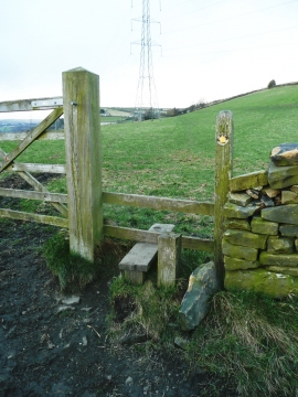
Stile on Halifax FP405 at High Sunderland Lane
-
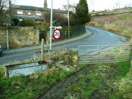
Stile on Halifax FP749 at Bradford Old Road
Stile on Halifax FP405 at High Sunderland Lane
Stile on Halifax FP749 at Bradford Old Road
Location and coordinates are for the approximate centre of Woodlands within this administrative area. Geographic features and populated places may cross administrative borders.