-

Chippy, Thornybank
-
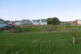
New houses, Thornybank
Chippy, Thornybank
New houses, Thornybank
Location and coordinates are for the approximate centre of Woodburn within this administrative area. Geographic features and populated places may cross administrative borders.