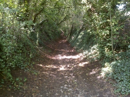
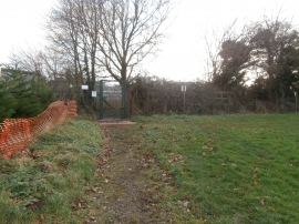
Withy Mills, Bath and North East Somerset

« Gazetteer Entry
Upload Photo

Withy Mills, Bath and North East Somerset

  • Parish/Community: Paulton
  • Unitary Authority: Bath and North East Somerset
  • Region: South West
  • Category: Populated Place
  • Type: Hamlet
  • Latitude/Longitude: 51°18'49"N 2°29'13"W
  • Eastings/Northings: 366146, 157288
  • OS Grid: ST661572
  • Mapcode Local: GBR JW.XF2S
  • Mapcode Global: VH89G.V70R

Location and coordinates are for the approximate centre of Withy Mills within this administrative area. Geographic features and populated places may cross administrative borders.

BritishPlaceNames.uk is a Good Stuff website.