-
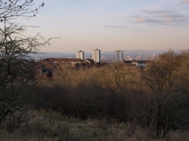
Castlemilk and Cathkin Braes Park
-
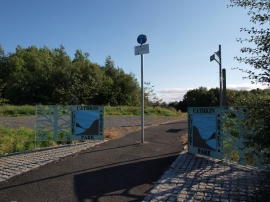
Entrance to Cathkin Braes Country Park
Castlemilk and Cathkin Braes Park
Entrance to Cathkin Braes Country Park
Location and coordinates are for the approximate centre of Windlaw Strip within this administrative area. Geographic features and populated places may cross administrative borders.