-
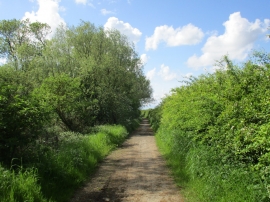
Footpath alongside Willow Holt
-
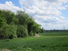
Willow Holt and lane to Park Ings Farm
Footpath alongside Willow Holt
Willow Holt and lane to Park Ings Farm
Location and coordinates are for the approximate centre of Willow Holt within this administrative area. Geographic features and populated places may cross administrative borders.