-

Wood by Wig Fach
-
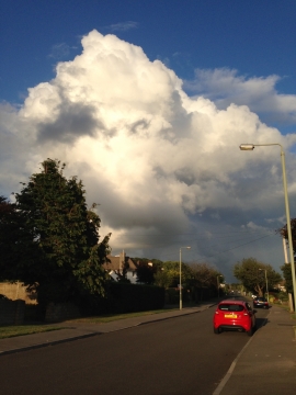
Storm clouds in Porthcawl
Wood by Wig Fach
Storm clouds in Porthcawl
Location and coordinates are for the approximate centre of Wig-Fach within this administrative area. Geographic features and populated places may cross administrative borders.