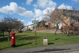
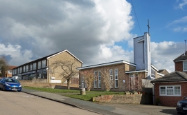
Widmer End, Buckinghamshire

« Gazetteer Entry
Upload Photo

Widmer End, Buckinghamshire

  • Built-Up Area: High Wycombe
  • Parish/Community: Hughenden
  • District/Borough: Wycombe
  • County: Buckinghamshire
  • Region: South East
  • Category: Populated Place
  • Type: Village
  • Latitude/Longitude: 51°39'48"N 0°43'7"W
  • Eastings/Northings: 488710, 196841
  • OS Grid: SU887968
  • Mapcode Local: GBR D4S.R2N
  • Mapcode Global: VHDVZ.HGB6

Location and coordinates are for the approximate centre of Widmer End within this administrative area. Geographic features and populated places may cross administrative borders.

BritishPlaceNames.uk is a Good Stuff website.