-
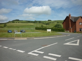
Lords Land, Whitton
-
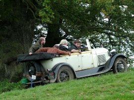
Vintage Sports Car Club, Cwmwhitton Hill Climb 2014
Lords Land, Whitton
Vintage Sports Car Club, Cwmwhitton Hill Climb 2014
Location and coordinates are for the approximate centre of Whitton within this administrative area. Geographic features and populated places may cross administrative borders.