-
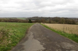
Access road between fields near Marlow Bottom
-
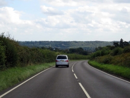
The B482, Marlow Road
Access road between fields near Marlow Bottom
The B482, Marlow Road
Location and coordinates are for the approximate centre of Whitehill Wood within this administrative area. Geographic features and populated places may cross administrative borders.