-
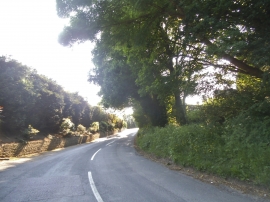
Church Road, Farley Hill
-
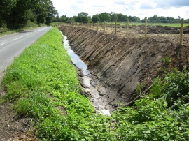
New ditch and fence
Church Road, Farley Hill
New ditch and fence
Location and coordinates are for the approximate centre of Westwood Copse within this administrative area. Geographic features and populated places may cross administrative borders.