-
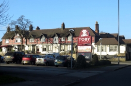
Toby Carvery and Travelodge on Chester Road North
-
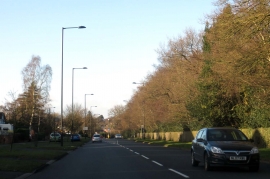
Chester Road North passing Westwood Coppice
Toby Carvery and Travelodge on Chester Road North
Chester Road North passing Westwood Coppice
Location and coordinates are for the approximate centre of Westwood Coppice within this administrative area. Geographic features and populated places may cross administrative borders.