-
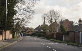
Westgate, Southwell
-
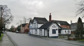
The Dumbles, Westhorpe
Westgate, Southwell
The Dumbles, Westhorpe
Location and coordinates are for the approximate centre of Westhorpe within this administrative area. Geographic features and populated places may cross administrative borders.