-
The Chesterfield Canal
-
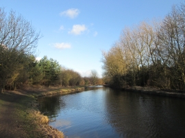
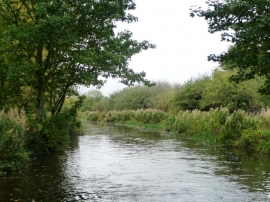
Canal at Dog Kennels Plantation
The Chesterfield Canal
Canal at Dog Kennels Plantation
Location and coordinates are for the approximate centre of West Town Wood within this administrative area. Geographic features and populated places may cross administrative borders.