-
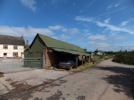
Farm at West Leigh
-
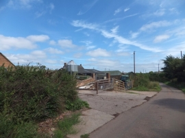
Farm buildings near Venn
Farm at West Leigh
Farm buildings near Venn
Other current and historical names
Location and coordinates are for the approximate centre of West Leigh within this administrative area. Geographic features and populated places may cross administrative borders.