-

School Road, Tilney St Lawrence
-
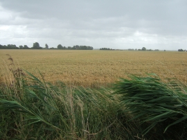
Reeds and wheat during a storm
School Road, Tilney St Lawrence
Reeds and wheat during a storm
Location and coordinates are for the approximate centre of West Field within this administrative area. Geographic features and populated places may cross administrative borders.