-
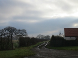
Harlthorpe Ings Road
-
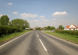
Entering Harlthorpe on the A163 eastbound
Harlthorpe Ings Road
Entering Harlthorpe on the A163 eastbound
Location and coordinates are for the approximate centre of West Field within this administrative area. Geographic features and populated places may cross administrative borders.