-
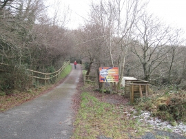
The lane and entrance at Bryn-y-Moel
-
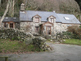
The Cottage at Bryn-y-Moel
The lane and entrance at Bryn-y-Moel
The Cottage at Bryn-y-Moel
Location and coordinates are for the approximate centre of Wenallt within this administrative area. Geographic features and populated places may cross administrative borders.