-
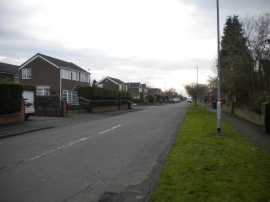
North end of Whinmoor Gardens, Wellington Hill
-
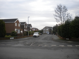
South end of Whinmoor Court, Wellington Hill
North end of Whinmoor Gardens, Wellington Hill
South end of Whinmoor Court, Wellington Hill
Location and coordinates are for the approximate centre of Wellington Hill within this administrative area. Geographic features and populated places may cross administrative borders.