-
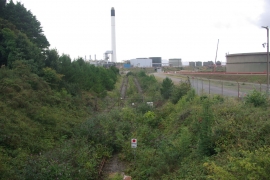
Former oil refinery, Waterston
-
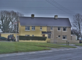
On The Road From Waterston
Former oil refinery, Waterston
On The Road From Waterston
Other current and historical names
Location and coordinates are for the approximate centre of Waterston within this administrative area. Geographic features and populated places may cross administrative borders.