-
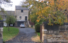
Autumnal cherry tree
-
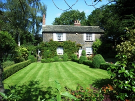
Cottage, Shay Lane, Walton
Autumnal cherry tree
Cottage, Shay Lane, Walton
Location and coordinates are for the approximate centre of Walton within this administrative area. Geographic features and populated places may cross administrative borders.