-
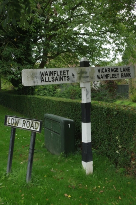
Signpost on Low Road
-
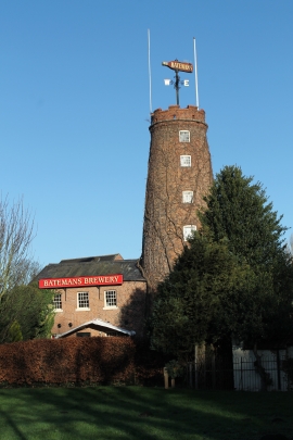
Batemans Brewery
Signpost on Low Road
Batemans Brewery
Location and coordinates are for the approximate centre of Wainfleet St Mary within this administrative area. Geographic features and populated places may cross administrative borders.