-
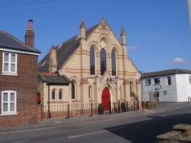
Primitive Methodist chapel
-
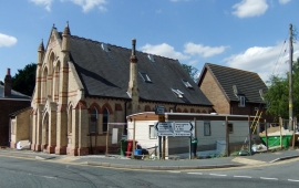
Chapel Conversion, Spruce Lane, Ulceby
Primitive Methodist chapel
Chapel Conversion, Spruce Lane, Ulceby
Location and coordinates are for the approximate centre of Ulceby within this administrative area. Geographic features and populated places may cross administrative borders.