-
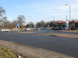
2 Roundabouts at a Staggered Crossroads on Wellhall Road, Hamilton
-
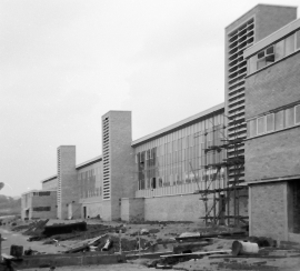
Phillips Hamilton works under construction
2 Roundabouts at a Staggered Crossroads on Wellhall Road, Hamilton
Phillips Hamilton works under construction
Other current and historical names
Location and coordinates are for the approximate centre of Udston within this administrative area. Geographic features and populated places may cross administrative borders.