-
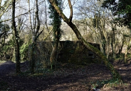
Watcher In The Woods
-
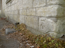
Fir Tree benchmark
Watcher In The Woods
Fir Tree benchmark
Location and coordinates are for the approximate centre of Tyning within this administrative area. Geographic features and populated places may cross administrative borders.