-

Ysgubor Isaf [Lower Barn in English]
-
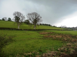
Hillside near Felindre
Ysgubor Isaf [Lower Barn in English]
Hillside near Felindre
Location and coordinates are for the approximate centre of Ty'n-y-coed within this administrative area. Geographic features and populated places may cross administrative borders.