-
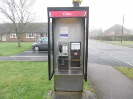
KX200 Telephone Kiosk in Tylers Green
-

Tylers Green Methodist Church
KX200 Telephone Kiosk in Tylers Green
Tylers Green Methodist Church
Location and coordinates are for the approximate centre of Tylers Green within this administrative area. Geographic features and populated places may cross administrative borders.