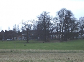
Tyburn, Birmingham

« Gazetteer Entry
Upload Photo

Tyburn, Birmingham

  • Built-Up Area: Birmingham
  • Parish/Community: Birmingham, unparished area
  • Unitary Authority: Birmingham
  • Region: West Midlands
  • Category: Populated Place
  • Type: Suburban Area
  • Latitude/Longitude: 52°31'30"N 1°48'9"W
  • Eastings/Northings: 413489, 291934
  • OS Grid: SP134919
  • Mapcode Local: GBR 3PR.HP
  • Mapcode Global: VH9YR.PSWM

Location and coordinates are for the approximate centre of Tyburn within this administrative area. Geographic features and populated places may cross administrative borders.

BritishPlaceNames.uk is a Good Stuff website.