-
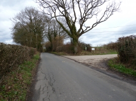
Oak tree by the entrance to High House Farm
-
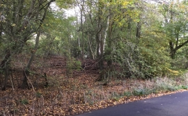
Railway Embankment
Oak tree by the entrance to High House Farm
Railway Embankment
Location and coordinates are for the approximate centre of Tutt's Wood within this administrative area. Geographic features and populated places may cross administrative borders.