-
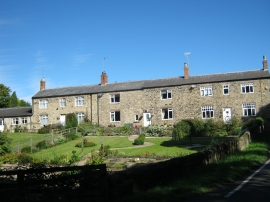
Well Cottages Windlestone Lane
-

Bridleway alongside the eastern boundary of Windlestone Hall
Well Cottages Windlestone Lane
Bridleway alongside the eastern boundary of Windlestone Hall
Location and coordinates are for the approximate centre of Turkey Hill Plantation within this administrative area. Geographic features and populated places may cross administrative borders.