-

The Haywain, Coychurch Rd, Tremains, Bridgend
-
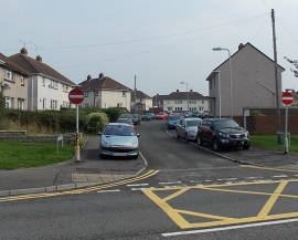
Pavement parking along The Crescent, Bridgend
The Haywain, Coychurch Rd, Tremains, Bridgend
Pavement parking along The Crescent, Bridgend
Location and coordinates are for the approximate centre of Tremains within this administrative area. Geographic features and populated places may cross administrative borders.