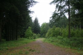
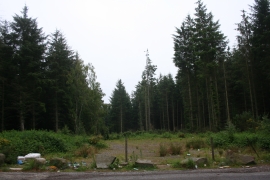
Todhill Wood, Aberdeenshire

« Gazetteer Entry
Upload Photo

Todhill Wood, Aberdeenshire

  • Unitary Authority: Aberdeenshire
  • Region: Scotland
  • Category: Landcover
  • Type: Forest or Wood
  • Latitude/Longitude: 57°12'53"N 2°9'37"W
  • Eastings/Northings: 390418, 813805
  • OS Grid: NJ904138
  • Mapcode Local: GBR XM.247N
  • Mapcode Global: WH9Q9.SXGC

Location and coordinates are for the approximate centre of Todhill Wood within this administrative area. Geographic features and populated places may cross administrative borders.

BritishPlaceNames.uk is a Good Stuff website.