-
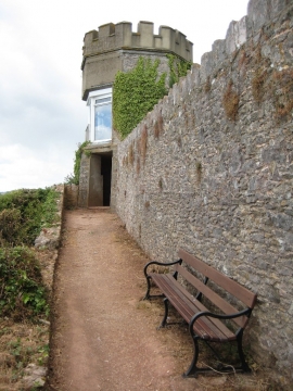
The coast path and castellated tower
-
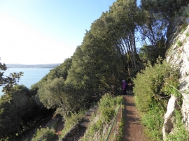
Zig-zag path at Rock End Walk
The coast path and castellated tower
Zig-zag path at Rock End Walk
Location and coordinates are for the approximate centre of Thunder Hole within this administrative area. Geographic features and populated places may cross administrative borders.