-
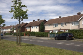
Edge Lane, Thornton
-
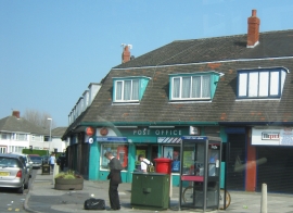
Thornton Post Office at 1 The Crescent
Edge Lane, Thornton
Thornton Post Office at 1 The Crescent
Location and coordinates are for the approximate centre of Thornton within this administrative area. Geographic features and populated places may cross administrative borders.