-
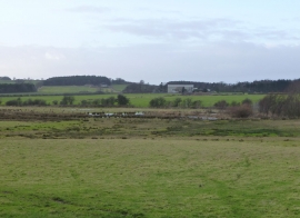
Marshy land beside the Eshott Burn
-
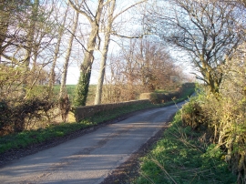
Eshott Burn bridge
Marshy land beside the Eshott Burn
Eshott Burn bridge
Location and coordinates are for the approximate centre of The Willows within this administrative area. Geographic features and populated places may cross administrative borders.