-
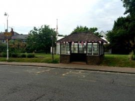
Bus shelter with bunting
-
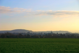
Evening Over Hurstpierpoint
Bus shelter with bunting
Evening Over Hurstpierpoint
Location and coordinates are for the approximate centre of The Wilderness within this administrative area. Geographic features and populated places may cross administrative borders.