-
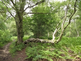
Contorted Tree
-
Unusual tree growth by the Sussex Border Path
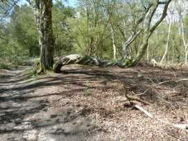
Contorted Tree
Unusual tree growth by the Sussex Border Path
Location and coordinates are for the approximate centre of The Wilderness within this administrative area. Geographic features and populated places may cross administrative borders.