-
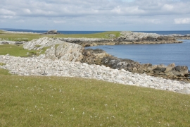
Muckle Hesta Geo, Heoga Ness
-
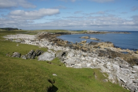
Muckle Hesta Geo, Heoga Ness
Muckle Hesta Geo, Heoga Ness
Muckle Hesta Geo, Heoga Ness
Location and coordinates are for the approximate centre of The Steaths within this administrative area. Geographic features and populated places may cross administrative borders.