-
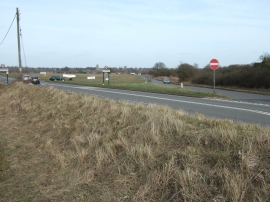
Both roads lead to Hempton
-
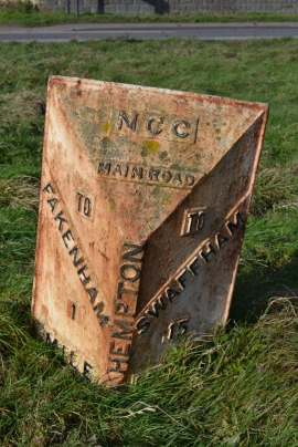
Old Milepost
Both roads lead to Hempton
Old Milepost
Location and coordinates are for the approximate centre of The Rookery within this administrative area. Geographic features and populated places may cross administrative borders.