-
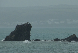
The Long Stone viewed from Portwrinkle
-
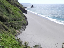
Downderry Naturist Beach
The Long Stone viewed from Portwrinkle
Downderry Naturist Beach
Location and coordinates are for the approximate centre of The Long Stone within this administrative area. Geographic features and populated places may cross administrative borders.