-
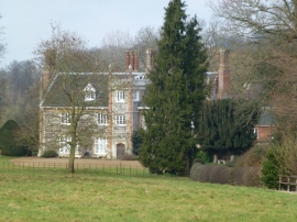
Thorpland Hall near Fakenham
-
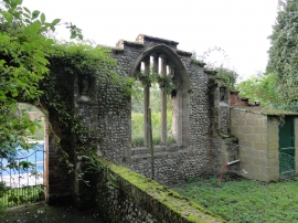
Thorpland, St. Thomas' church
Thorpland Hall near Fakenham
Thorpland, St. Thomas' church
Location and coordinates are for the approximate centre of The Carr within this administrative area. Geographic features and populated places may cross administrative borders.